Winter '65 / '66 - On This Day in NESIS History
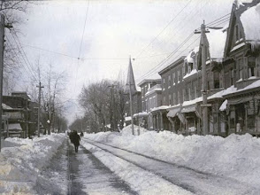
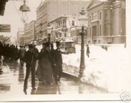
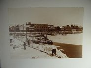
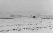
A MAJOR (NESIS 5.05 5.93) snowstorm affected the northeast between January 29 and 31...1966. This storm ranks 12th out of 66 since 1948.
Originating in the GOM on 29-JAN...the storm marched up the coast to a position off the Delmarva Peninsula on the 30th where a 930-ish central pressure was observed. The strong cyclonic circulation threw high PW air into an arctic air mass where dew points were in the single digits. Little doubt there was a coastal front involved...altho it/s not shown in the SFC analysis. The 7 AM temperature in Birmingham...AL was 1°F and 3°F in Atlanta...GA.
Snowfall records were established that still stand today at...
ABE - 9.6"
BDL - 6.2"
BDR - 5"
BGM - 14.5" (1.01" liquid)
BOS - 5.7"
EWR - 5.6"
JFK - 5.2"
ORH - 8.5"
PHL - 5.6"
PVD - 5.2"
NAO for D-3...D-2...D-1...and storm day
| -1.654 | -1.739 | -1.622 | -1.402 |
AO
| -3.510 | -2.929 | -2.853 | -3.053 |
PNA
| 0.002 | -0.034 | 0.250 | 0.565 |
 |
| Daily Wx Map (click to enlarge) |
"The NESIS differs from the Fujita tornado scale and the Saffir–Simpson hurricane scale in that NESIS focuses on the amount of snow that falls, mapped onto the population density that experiences the snow, rather than focusing on wind as the major impact agent."



No comments:
Post a Comment