Friday, February 15, 2013

Winter '12 / '13 - Storm #4: Call for Forecasts!

TAKE 2!

NYC
13-DEC-69

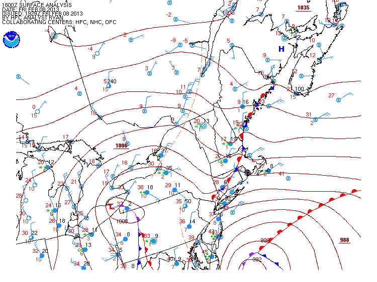
This weekend's PD III poser of a storm didn't show its face in time to issue a  'Call for Forecasts' Thursday evening.

Today's progs and HPC guidance suggest a contest-worthy period of snow over northern stations on Sunday.

Only snow that accumulates after midnight Sunday will be used to verify the forecasts.

The forecast contest for Storm #4 may be canceled prior to deadline if NWP indicates a fizzling event.

---
Forecast element: storm-total snowfall
Deadline for entries: 10:30 PM EST SAT...16-FEB-13

Verification period begins: 12:01 AM SUN...17-FEB-13
Verification period ends: when the snow stops.

Enter your forecast at the Contest's home page here.
Follow the link from 'Enter Storm Forecast.'

---
As always...there/s no cost...or fee...or advertising...or annoying requests for personal information to enter a forecast. It's just a fun exercise for winter wx enthusiasts to see who can make the best synoptic-scale snowfall forecast.

If you are issuing your first forecast this winter...or you entered the 'season-total' forecast contest...you/ll need to create an account (user name / password / valid e-mail...if you want a copy of your forecast sent to your Inbox).
---

Want to be notified via e-mail when the 'Call for Forecast' is issued?
Send requests to 'newx at newx-forecasts dot com'.

Monday, February 11, 2013

Winter '12 / '13 - Storm #3: Final Results

1st - dryslot
SUMSQ:
570.76

SUMSQ Z:
-0.938

STP:
28.85
 (7)
TAE:
71.25
 (1)
AAE:
2.97
 (1)


2nd - iralibov
SUMSQ:
692.28

SUMSQ Z:
-0.773

STP:
5.95
 (1)
TAE:
97.45
 (3)
AAE:
4.24
 (3)
3rd - Roger Smith
SUMSQ:
768.80

SUMSQ Z:
-0.668

STP:
45.90
 (10)
TAE:
101.40
 (4)
AAE:
4.41
 (5)
HM - flame_boy
SUMSQ:
825.02

SUMSQ Z:
-0.592

STP:
39.74
 (8)
TAE:
85.28
 (2)
AAE:
3.88
 (2)


SUMSQ: sum of square errors
STP: storm-total precipitation error
TAE: total absolute error
AAE: average absolute error
(number):  category rank

Full forecast verification and summary for Storm #3 at the Contest/s web site.

Sunday, February 10, 2013

Winter '12 / '13 - Storm #3: Preliminary Verification

Preliminary storm-total snowfalls for Friday and Saturday from CDUS41...CXUS51...and PNS bulletins.

Several stations in the data table do not have SN:H2O reported b/c their liquid totals included either mixed precipitation...gross errors...or missing data.

HYA estimated STP derived from the average between Centerville (6") to the west and South Yarmouth to the east (8") per PNSBOX.

---
Six new daily records.
Double-header at MacArthur airport.

FRI...08-FEB-13
ISP - 16.7" (6"; 1994)
ORH - 15.2" (7"; 1945)
BDL - 13.4" (?"; 1945)

SAT...09-FEB-13
BGR - 16.2" (8.6"; 1969)
BOS - 14.8" (12.4"; 1994)
ISP - 11.1" (2"; 1994)


---
Please report any errors and drop a link to the correct data in Comments.

Final results and storm summary Monday evening.

Saturday, February 09, 2013

Winter '12 / '13 - Storm #3: Blizzard?

BOS
26-FEB-69
Sorry folks.
It just didn/t happen this go'round.

Despite the news media/s insatiable appetite for sensationalism...heavy snowfall does not a blizzard make.

Blizzard defined.

The only station coming even close to blizzard conditions was Islip airport on Long Island...NY but alas...they came up ~78" short on the 180" duration requirement.

The three-hour duration clock starts at 0208z (9:08 PM EST) when the visibilily fall below 1/4 SM at KISP and the wind begins to honk above 30 knots.

---
METAR KISP 090208Z 36022G35KT 1/8SM R06/1200V1600FT +SN FZFG VV003 M02/M03 A2952

METAR KISP 090256Z 35019G32KT 1/16SM R06/1000V1200FT +SN FZFG VV002 M02/M03 A2953

METAR KISP 090350Z 36018G28KT 1/8SM R06/1600V2600FT +SN FZFG VV003 M03/M04

METAR KISP 090356Z COR 34020KT 1/8SM R06/2000V2800FT +SN FZFG VV003 M03/M04

---
Three-hour duration clock stops at 0350z (10:50 PM EST).  The total elapsed time of a blizzard/s restricted visibility and wind speed criteria is 1' 42" which is 1' 18" short of the three-hour duration requirement.

Winter '12 / '13 - Storm #3: The Forecasts!

15 forecasters
10 Senior
1 Journeyman
1 Intern
3 Rookies...including 1 'first-timer'.  Welcome flame_boy!


Entries ranked by STP.
336 station forecasts.


Consensus heavy snowfall axis from CAR-BGR-PWM-BOS-HYA-PVD-ISP-JFK-EWR-BGM-ALB-BTV-CAR.  At least 20" expected at PWM...CON...BOS...ORH...and PVD.  Biggest losers in the M-A this go'round.


NAO sitting it out...again.

Everyone/s station-by-station forecast has been posted on the Contest/s web site.

Winter '12 / '13 - Storm #3: Snow Cover

Thursday, February 07, 2013

Winter '12 / '13 - Storm #3: RAW Forecasts

Raw forecasts here.

Chances are...the posting of forecasts and forecast summary on the Contest/s web page and web log will be delayed until Saturday.

Wednesday, February 06, 2013

Winter '12 / '13 - PD III ?

Winter '12 / '13 - Storm #3: Call for Forecasts!

Route 128
Danvers...MA
10-FEB-69
The last 'Call for Forecasts' came 41 days ago.  What a crappy winter!

NWP offering up another odd Miller A / B hybrid with explosive development along the SNE coast...near-blizzard conditions...and a track over the famed' benchmark' at 40°N / 70°W.

This go-round it's an actual real-live snowstorm and not some poser LOW with a thin strip of snow on the northwestern edge of the precipitation shield.

The forecast contest for Storm #3 may be canceled prior to deadline if NWP indicates a fizzling event altho that seems unlikely.

---
Forecast element: storm-total snowfall
Deadline for entries: 10:30 PM EST THU...07-FEB-13

Verification period begins: 12:01 AM FRI...08-FEB-13
Verification period ends:  when the snow stops*

Enter your forecast at the Contest's home page here.
Follow the link from 'Enter Storm Forecast.'

---
As always...there/s no cost...or fee...or advertising...or annoying requests for personal information to enter a forecast. It's just a fun exercise for winter wx enthusiasts to see who can make the best synoptic-scale snowfall forecast.

If you are issuing your first forecast this winter...or you entered the 'season-total' forecast contest...you/ll need to create an account (user name / password / valid e-mail...if you want a copy of your forecast sent to your Inbox).

---
Want to be notified via e-mail when a 'Call for Forecasts' is issued?
Send your request to 'newx at newx-forecasts dot com'.

---
* Current NWP suggests accumulating snows coming to an end Saturday evening.
Verification period may end 11:59 PM SAT...09-FEB-13 even if light snowfall is occurring over a station or two.  No reason to hold up the preliminary verification report to count 12 extra snowflakes somewhere.

Tuesday, February 05, 2013

Winter '12 / '13 - 12th Annual 'Season-Total' Forecast Contest: DEC / JAN Totals

DEC/s snowfall totals got the season off to a promising start with nine stations measuring above normal snowfall and 103% above normal for the entire forecast area where northern stations got the best of it.  Total departure was +5.7".


All stations measured below normal snowfall totals in JAN for a total departure of -139.5".  Three southern stations made it into the Top Ten.

As of the end of JAN...season-total snowfall over the entire forecast area was 28% below normal.

---
GREEN - 75th percentile and above
RED - 25th percentile and below