Thursday, January 13, 2011

Winter '10 / '11 - Snow Storm #3 - Preliminary Verification

Preliminary storm-total snowfalls for Tuesday and Wednesday from CDUS41...CXUS51...and PNS...as of 8 AM Thursday.

No snowfall data in the NWS climate bulletins for SBY. Verifying storm-total snowfall of 0.05" was estimated from SBY/s METARs

---
Twelve new daily records.

WED...12-JAN-11

BDL - 24" (10.3"; 1996)
ORH - 21.1" (10"; 1996)
CON - 18.3" (8.6"; 1901)
BDR - 15" (3"; 2004)
BOS - 14.6" (6.7"; 1976)
ISP - 14" (2.1"; 2004)
PWM - 13" (10.2"; 1905)
ALB - 12.8" (10.2"; 1891)
BGR - 10.4" (5.7"; 1954)
BTV - 9.3" (5.9"; 1976)
EWR - 6.4" (3.2"; 1994)
JFK - 4.2" (1.6"; 1970)

---
Please report errors and drop a link to the correct data in Comments.

Final results and storm summary Friday evening.

Winter '10 / '11 - Snow Storm #3 - Teleconnections


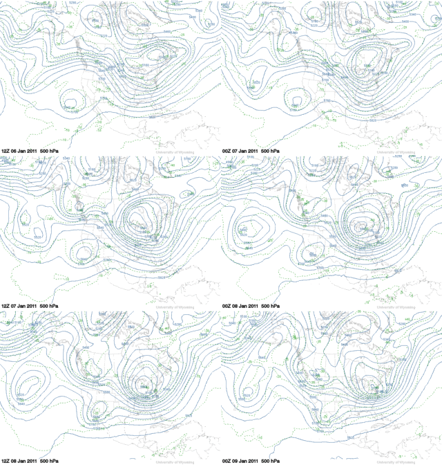
Arctic Oscillation continues its long run at well below zero as a minor warming event takes hold in the stratosphere...shown below by the hi-latitude...above normal geo-potential heights (GPH).


Also note the AO/s classic tri-pole configuration...in this case with strongly positive 5H anomalies over the Bering Sea and a secondary maxima over NE Canada.


Tuesday, January 11, 2011

Winter '10 / '11 - Snow Storm #3 - The Forecasts

12 entries

1 Rookie
3 Intern forecasters
2 Journeyman forecasters
6 Senior forecasters including Chief forecaster Iralibov

Another 'true' snow storm unlike some years where we try to forecast what is little more than a narrow stripe of snow under the northern edge of a mainly rain storm's comma cloud.

---
All forecasts have been posted to the Contest's home page.
Follow the link from Storm #3.

Entries are ranked in ascending order by 'storm-total' snowfall.
Please check you entry for accuracy.


Broad range of expected storm-total snowfall...
Min: 112" (TQ)
Max: 216" (emoran)
Avg: 176"
Median: 174"
STD: 31"


Heaviest snowfall axis expected to fall inside BOS - ORH - BDL- ISP - PVD - BOS.

Winter '10 / '11 - Snow Storm #2 - Final Results

Daily Wx Map
08-JAN-11
1st - Donald Rosenfeld
SUMSQ: 115.75
SUMSQ Z: -0.945
STP: 15.60 (10)
TAE: 37.60 (1)
AAE: 1.39 (1)

2nd - Donsutherland1
SUMSQ: 116.46
SUMSQ Z: -0.937
STP: 4.80 (2)
TAE: 39.70 (3)
AAE: 1.47 (3)

3rd - Mitchel Volk
SUMSQ: 121.70
SUMSQ Z: -0.874
STP: 14.10 (9)
TAE: 39.40 (2)
AAE: 1.46 (2)

HM - Emoran
SUMSQ: 129.88
SUMSQ Z: -0.775
STP: 7.80 (5)
TAE: 40.70 (4)
AAE: 1.51 (4)

SUMSQ: sum of square errors
STP: storm total precipitation error
TAE: total absolute error
AAE: average absolute error
(number): category ranking

Full forecast verification and summary at the Contest home page.

Monday, January 10, 2011

Winter '10 / '11 - Snow Storm #3 - Raw Forecasts

The raw forecasts have been posted to the NEWx GoogleGroup.

Winter '10 / '11 - Snow Storm #2 - Preliminary Verification

Preliminary storm-total snowfalls for Friday through Sunday from CDUS41...CXUS51...and PNS.

No snowfall data in the NWS climate bulletins for SBY. Verifying storm-total snowfall of 0.5" was estimated using a SN:H2O ratio of 12.5:1...the same as RIC.

---
One new daily record.

SAT...08-JAN-11
ACY - 7.7" (6.6"; 1988)

---
Please report errors and a link to the correct data in Comments.

Final results and storm summary TUE evening.

Sunday, January 09, 2011

Winter '10 / '11 - Snow Storm #3 - Something Happenin' Here

30+ kts of warm'n moist being ingested into the nascent LOW via cold conveyor belt.
Strong baroclinicity given the skinny-digit arctic dew points over land.

Winter '10 / '11 - Snow Storm #1 - NESIS

NESIS:  4.92
Category:  3 (Major)
Rank:  18th


More...