Saturday, January 31, 2015
Friday, January 30, 2015
Winter '14 / '15 - Storm #2: FINAL Results
Full forecast verifications and summary for Storm #2 at the Contest/s web site.
| 1st - Donald Rosenfeld | ||||
| SUMSQ: | 654.05 | |||
| SUMSQ Z: | -1.375 | |||
| STP: | 12.7 | (2) | ||
| TAE: | 96.1 | (1) | ||
| AAE: | 3.56 | (1) | ||
| 2nd - donsutherland1 | ||||
| SUMSQ: | 1116.14 | |||
| SUMSQ Z: | -0.873 | |||
| STP: | 56.4 | (5) | ||
| TAE: | 129.8 | (3) | ||
| AAE: | 4.81 | (3) | ||
| 3rd - shillelagh | ||||
| SUMSQ: | 1409.4 | |||
| SUMSQ Z: | -0.555 | |||
| STP: | 89.6 | (9) | ||
| TAE: | 117.0 | (2) | ||
| AAE: | 4.34 | (2) | ||
| HM - WeatherT | ||||
| SUMSQ: | 1456.6 | |||
| SUMSQ Z: | -0.504 | |||
| STP: | 41.1 | (3) | ||
| TAE: | 138.7 | (4) | ||
| AAE: | 5.14 | (4) | ||
---
SUMSQ: sum of square errors
STP: storm-total precipitation error
TAE: total absolute error
AAE: average absolute error
(number): category rank
Click on images for higher resolution.
---
Winter '14 / '15 - Storm #3: Call for Forecasts!
 |
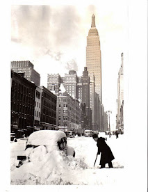
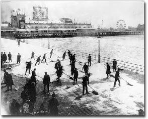
| NYC 02-FEB-1969 Paparazzi is still in business! |
The western long wave ridge rolled over the LOW as it moved inland. The advancing ridge in turn amplified the full-latitude trof over the east ... the same trof responsible for record snowfalls for Storm #2 ... and pulled the remnants of the upper LOW into the 4-corners region today.
As the trof shears out to the east on SAT .. surface LOW pressure begins to develop in the lee of the southern Rockies and starts organizing INVOF the Arklatex early SUN morning.
Over-running frozen precipitation expected in the Arctic air north of the warm front attending the LOW and along the backside of the system as it moves up the M-A and NE coast.
---
Forecast element: storm-total snowfall
Deadline for entries: 10:30 PM EST ... SAT ... 31-JAN-15
Verification begins: 12:01 AM EST ... SUN ... 01-FEB-15
Verification ends: when the snow stops falling
---
Enter your forecast at the NEWxSFC/s home page here.
Follow the top-of-page link from 'Enter Storm Forecast.
---
As always ... there/s no cost ... no fee ... no advertising ... or annoying requests for personal information to enter a forecast. It's just a fun exercise for winter wx enthusiasts to see who can make the best synoptic-scale snowfall forecast.
---
If you are issuing your first forecast this winter...or you entered the 'season-total' forecast contest ... you/ll need to create an account (user name / password / valid e-mail ... if you want a copy of your forecast sent to your Inbox).
Thursday, January 29, 2015
Winter '14 / '15 - Storm #2: Preliminary Verification
Preliminary storm-total snowfalls for Storm #2 (26/28-JAN-15) from CDUS41 and CXUS51 bulletins.
Suspect observations
- PWM/s 2.37" liquid on the 27th works out to an SLR slightly less than 10:1.
The 7-group @ 12z/28th is much lower.
Estimated liquid: 0.95"
- BTV/s 0.03" liquid on the 27th ==> 120:1 SLR.
- PNSBOX carried 27" @HYA; however ... vicinity reports averaged 22".
---
One new daily snowfall record on 26-JAN-15
ISP - 7.5" (4.5"; 1987)
Eight new daily snowfall records on 27-JAN-15
ORH - 31.9" (11"; 2011)
PWM - 22.8" (8.3"; 1963)
BOS - 22.1" (8.8"; 2011)
ISP - 17.3" (9.6"; 2011)
PVD - 16" (6.7"; 2011)
BGR - 14.9" (10.8"; 1963)
CON - 12.8" (6.2"; 1963)
JFK - 5.6" (4.3"; 2011)
---
Please report any errors in Comments along with a link to the correct data.
Final results Friday evening.
Monday, January 26, 2015
Winter '14 / '15 - Public Service Announcement: Blizzard Defined
 |
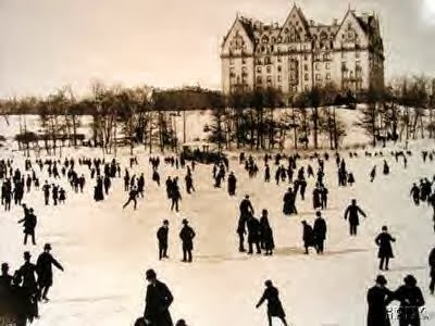
| NYC - Brooklyn Bridge |
Stop the Stupid
Winter '14 / '15 - Storm #2: The Forecasts!
Rookies 0
Interns 0
Journeymen 2
Senior 12
TOT 14
Total station forecasts: 357
Forecasts are ranked by their storm-total precipitation (STP).
BLUE ==> 25th percentile.
RED ==> 75th percentile.
STP cells without color are between the 25th and 75th percentile.
---
Sunday, January 25, 2015
Saturday, January 24, 2015
Winter '14 / '15 - Storm #2: Call for Forecasts!
 |
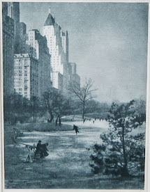
| NYC 27-JAN-1937 |
* - http://fas.org/spp/military/docops/afwa/atmos-U3.htm
Scroll to "Self-development/intensification of a baroclinic low"
---
Forecast element: storm-total snowfall
Deadline for entries: 10:30 PM EST ... SUN ... 25-JAN-15
Verification period begins: 12:01 AM EST ... MON ... 26-JAN-15
Verification period ends: 11:59 PM EST ... WED ... 28-JAN-15
---
Enter your forecast at the NEWxSFC/s home page here.
Follow the top-of-page link from 'Enter Storm Forecast.'
---
As always ... there/s no cost ... no fee ... no advertising ... or annoying requests for personal information to enter a forecast. It's just a fun exercise for winter wx enthusiasts to see who can make the best synoptic-scale snowfall forecast.
---
If you are issuing your first forecast this winter...or you entered the 'season-total' forecast contest ... you/ll need to create an account (user name / password / valid e-mail ... if you want a copy of your forecast sent to your Inbox).
---
Hard to believe the last 'Call for Forecasts' was issued two months ago ... all the way back on 25-NOV-14
Only three years (2000, 2007, 2012) where there no contest-worthy storms in DEC.
Only two years (2007, 2013) where there no contest-worthy storms in JAN.
Even FEB is not immune to no-hitters (2002, 2009).
The good news is early FEB looks quite promising.
Probably get two in APR (h/t snowman).
Last and only time that happened was 2002.
Monday, January 5, 2015
Winter '14 / '15 - Weakening Polar Vortex ==> Sudden Stratospheric Warming: UPDATE 6
OBS
The current sudden stratospheric warming (SSW) event has likely peaked as evidenced by
1) the deep layer wind reversal of the polar vortex (PV) and
2) a dipole of hi-latitude warming maximized INVOF eastern Greenland.
Upper air analysis courtesy University of Wyoming, College of Engineering, Department of Atmospheric Science
---
Deep-layer hi-latitude easterlies ~30 KTs.


