Tuesday, April 02, 2024
Monday, April 01, 2024
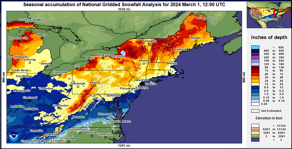
Winter '23 / '24 - Snow Storm #3: Call for Forecasts!
 |
| RDU - 300-block East Martin St. 03-APR-1915 |
The last time this happened was 13 years ago in 2011 and only three times prior in the Contest/s 25-year history.
- Enter your forecast at the NEWxSFC/s home page at http://www.newx-forecasts.com/
- Follow the top-of-page link from 'Enter Snow Storm Forecast'
---
Forecast element: each station/s storm-total snowfall
Deadline for entries: 10 PM EDT TUE ... 02-APR-24
Verification period BEGINS: 12:01 AM EDT WED ... 03-APR-24
Verification period ENDS: 11:59 PM EDT the day snow stops accumulating
By entering ... you also get the chance to see how well your forecast stacks up against NWS Eastern Region's Weather Forecast Offices. Turns out they/ve been easy to beat!
Who Can Enter
Amateur and professional forecasters; broadcasters with or without trained Seals; any and all other weather-biz types and / or wanna-bees; wish-casters ... astrologers ... along with any other universally recognized class of dreamers; Pollyannas or Cassandras ... registered Nostradamuses ... non-violent megalomaniacs ... woolly-bear caterpillars or their Agents ... pest detectives ... ne.wx news group survivors; riders on the StormVista ... refugees from AmericanWx and/or USWeather free agents ... including self-imposed exiles from Eastern Wx ... and of course ... meteorologists.
Thursday, March 07, 2024
Winter '23 / '24 - 'Season-total' Snowfall Forecast Contest: FEB Snowfall Totals
 |
| DC APR-1924 |
FEB-24 snowfall summary by forecast station.
Rank ordered descending by percent of monthly period-of-record-normal (P-O-R-N).

White ==> less than 4th and greater than 1st quartile (inter-quartile range)
Red ==> 1st quartile
'Obs' reporting '0.05' denote 'Trace' amounts (observed but not measurable)
---
FEB Forecast Station Highlights
3 of 25 stations (12%) observed at least 100% of their monthly P-O-R-N snowfall
1 station (ABE) >= 150% of P-O-R-N
Biggest Losers
9 of 25 stations (ALB ... BGR ... BOS ... PWM ... DCA ... SBY ... ORF ... RDU ... RIC) observed <= 10% monthly P-O-R-N.
Not a single flake ... ice pellet ... or hailstone observed at RDU or RIC.
---
Season-total-to-Date
FEB P-O-R-N contributes 266" (28%) toward the season-total (D-J-F-M) snowfall of 936"
FEB-24 observed snowfall: 109" (41% of monthly P-O-R-N; 12% of P-O-R-N season-total snowfall)
---
Teleconnections

AO / NAO / PNA data
---
DEC snowfall totals here
JAN snowfall totals here
Thursday, February 15, 2024
Winter '23 / '24 - Snow Storm #2: FINAL Results and Storm Summary
 |
| MA - Rte 128 FEB-1978 |

SUMSQ: sum of square error (")
SUMSQ Z: Z-score
STP: storm total precipitation error (")
TAE: total absolute error (")
AAE: average absolute error (")
(#): category rank
---
Forecast by Observed Snowfall Scatterplots for Top 4 Forecasts

Forecast/s dotted blue line below (above) the Observed snowfall/s solid red line ==> under (over) forecast bias.
---
Comparison of Top 4 Forecasts and Observed Snowfall by Station

Forecaster Skill Score (measured against NWS ER WFOs)

Positive skill values indicate the degree of a forecast/s improvement over NWS forecasts.
Bias: the arithmetic difference between the average Forecast snowfall and the average Observed snowfall (avgForecast - avgObserved).
Wednesday, February 14, 2024
Winter '23 / '24 - Snow Storm #2: STP Verification - Preliminary
 |
| NYC - Central Park West Historic District (20-MAR-56) |
Excellent coverage and reporting.
---
HYA
STP derived by applying an inverse distance weighting scheme to BOSPNS vicinity reports from Barnstable county.
Snow-to-liquid ratios (SLR) less than 8:1 are not reported for some stations with measurable snowfall b/c significant liquid and / or freezing precipitation also occurred during the verification period.
The 'TOT SLR' field is a quantity-weighted average.
Tuesday, February 13, 2024
Winter '23 / '24 - Snow Storm #2: The Forecasts!
 |
| NYC (02-FEB-69) |
Intern -
Journey -
Senior 14
GOVT 1
PWSP 1
TOT 18
Rejected forecasts: 1 (unreasonable values)
---
Forecaster table ranked by ascending storm-total precipitation (STP).
RED ==> 4th quartile
WHITE and GREY STP cells range between the 1st and 4th quartile
---

Heaviest snowfall (+6") consensus along and to the right of a line from HYA - PVD - BDR - ISP - EWR - ABE - BDL - ORH - HYA. Lollypop expected at PVD.
---
Teleconnections

---
Everyone/s station-by-station forecast posted to the Contest/s web site.
Direct link to the forecast table here.
Monday, February 12, 2024
Sunday, February 11, 2024
Winter '23 / '24 - Snow Storm #2: Call for Forecasts!
 |
| Lincoln Memorial (1935) |
Contest-worthy snowfall expected on TUE along the NW edge of a migrating LOW/s moisture-rich precipitation shield.
- Enter your forecast at the NEWxSFC/s home page at http://www.newx-forecasts.com/
- Follow the top-of-page link from 'Enter Snow Storm Forecast'
---
Forecast element: each station/s storm-total snowfall
Deadline for entries: 10 PM EST ... MON 12-FEB-24
Verification period BEGINS: 12:01 AM EST ... TUE 13-FEB-24
Verification period ENDS: 11:59 PM EST the day snow stops accumulating
By entering ... you also get the chance to see how well your forecast stacks up against NWS Eastern Region's Weather Forecast Offices. Turns out they/ve been easy to beat!
Who Can Enter
Amateur and professional forecasters; broadcasters with or without trained Seals; any and all other weather-biz types and / or wanna-bees; wish-casters ... astrologers ... along with any other universally recognized class of dreamers; Pollyannas or Cassandras ... registered Nostradamuses ... non-violent megalomaniacs ... woolly-bear caterpillars or their Agents ... pest detectives ... ne.wx news group survivors; riders on the StormVista ... refugees from AmericanWx and/or USWeather free agents ... including self-imposed exiles from Eastern Wx ... and of course ... meteorologists.
Friday, February 02, 2024
Winter '23 / '24 - 'Season-total' Snowfall Forecast Contest: JAN Snowfall Totals
 |
| NYC - Staten Island 12-DEC-60 |
Rank ordered descending by percent of monthly period-of-record-normal (P-O-R-N).

Green ==> 4th quartile
White ==> less than 4th and greater than 1st quartile (inter-quartile range)
Red ==> 1st quartile
'Obs' reporting '0.05' denote 'Trace' amounts (observed but unmeasurable)
---
JAN Forecast Station Highlights
16 of 25 stations (64%) observed at least 100% of their monthly P-O-R-N snowfall
2 stations (ORH ... BWI) >= 150% above P-O-R-N
Biggest Losers
RIC ... ORF ... and RDU <= 10% monthly P-O-R-N
Not a single flake ... ice pellet ... or hailstone observed at RDU
---
Season-total-to-Date
JAN P-O-R-N contributes 278" (30%) toward the season-total (D-J-F-M) snowfall of 936"
JAN-24 observed snowfall: 291" (105% of monthly P-O-R-N; 31% of P-O-R-N season-total snowfall)

---
Teleconnections

AO / NAO / PNA data
---
DEC snowfall totals here
Tuesday, January 09, 2024
Winter '23 / '24 - Snow Storm #1: FINAL Results and Storm Summary
 |
| PHL East River Drive - Fairmount Park |
Complete forecaster verification table and the FINAL Results / Storm Summary available at NEWxSFC/s home page.
 SUMSQ: sum of square error (")
SUMSQ Z: Z-score
STP: storm total precipitation error (")
TAE: total absolute error (")
AAE: average absolute error (")
(#): category rank
---
Forecast by Observed Snowfall Scatterplots for Top 4 Forecasts

Forecast/s dotted blue line below (above) the Observed snowfall/s solid red line ==> under (over) forecast bias.
---
Comparison of Top 4 Forecasts and Observed Snowfall by Station

---
Forecaster Skill Score (measured against NWS ER WFOs)

SKILL: positive (negative) skill value indicates a
forecast/s improvement (decline) over the NWS forecast.
BIAS: arithmetic difference between the average Forecast snowfall and
the average Observed snowfall (averageForecast – averageObserved).
Subscribe to:
Comments (Atom)


