Wednesday, January 19, 2011

Winter '10 / '11 - Northeastern Snowfall Impact Scale - Return Periods

The heavy snowfall of late December scored a 4.92 on the Northeastern Snowfall Impact Scale (NESIS).  It ranked 59th out of 76 events.

How often can a storm of this impact be expected to affect the NE?

Plotting the Gumbel distribution curve for the 76 NESIS events...we can estimate the return period of a 4.92 magnitude snow storm as 3.72 years.

What about the estimated return periods for the 'Top-5' NESIS storms?
Was the March-93 'Superstorm' really the 'Storm of the Century?' The Great Blizzard of JAN-96...ranked 2nd highest NESIS...was another memorable storm of the late 20th century.

How often can storms of such extreme impact be expected?

'Top-5' NESIS Events and Index...
12/14-MAR-93: 13.20
6/8-JAN-96: 11.78
2/5-MAR-60: 8.77
15/18-FEB-03: 7.50
2/5-FEB-61: 7.06

Gumbel distribution for 76 NESIS events
Return period...in years...for the 'Top-5' NESIS events...
12/14-MAR-93: 340
6/8-JAN-96: 153
2/5-MAR-60: 28.5
6/7-FEB-03: 14.2
2/5-FEB-61: 11.2

The return period for the MAR-93 Superstorm is more than twice as long as its nearest neighbor...the Great Blizzard of JAN-96.  Consider yourself lucky to have been alive when these genuinely historic storms occurred b/c it'll likely be a long...long time before a snow storm will have such a severe impact on the NE again.

Monday, January 17, 2011

Winter '10 / '11 - Interim Standings - #1

After three snow storms...


Under the 'two-thirds' rule...the best 'two out of three' z-scores are used to compute the interim standings.  After Snow Storm #4...your top three z-scores will be used.

Z-scores are used to standardize or normalize the errors from each storm so at the end of the season...the scores can be averaged.


An expanded data table with other measues of forecaster skill at the Contest's home page.

Saturday, January 15, 2011

Winter '10 / '11 - Forecaster Master Database

The forecaster master database has been updated here.

The database (.html) has each forecast verification element by forecaster...such as Sum of Square Errors (SUMSQ)...Total Absolute Error (TAE)...Average Absolute Error (AAE)...and the Coefficient of Determination (RSQ).  These 'measures of skill' are described at the Contest's web site here as part of last year's interim/final 'regular season' standings (scroll down).

Friday, January 14, 2011

Winter '10 / '11 - Snow Storm #3 - Final Results

12z 12-JAN-11 
1st - emoran
SUMSQ: 423.59
SUMSQ Z: -1.115
STP: 1.20 (2)
TAE: 76.80 (2)
AAE: 2.84 (2)

2nd - donsutherland1
SUMSQ: 430.73
SUMSQ Z: -1.091
STP: 39.75 (6)
TAE: 72.35 (1)
AAE: 2.68 (1)

3rd - Donald Rosenfeld
SUMSQ: 430.92
SUMSQ Z: -1.090
STP: 4.40 (3)
TAE: 84.70 (5)
AAE: 3.14 (5)
00z 13-JAN-11

Honorable Mention - Brad Yehl
SUMSQ: 484.58
SUMSQ Z: -0.908
STP: 42.15 (7)
TAE: 84.05 (4)
AAE: 3.11 (4)

SUMSQ: sum of square errors
STP: storm-total precipitation error
TAE: total absolute error
AAE: average absolute error
(rank)

---
0.19" SUMSQ error difference between 2nd and 3rd place forecasts.

Mark Hofmann came within 0.1" of the observed storm-total snowall (214.9") for all stations.

Full forecast verification and summary at the Contest/s home page.

Winter '10 / '11 - North Atlantic Oscillation at Winter/s Crest

Meteorological winter has reached the half-way mark.  Coldest time of the year in the Northern Hemisphere...yet for much of the first half...temperatures have been much below normal...an unexpected oddity during la Nina.

This Hovmöller diagram from CPC shows the 5-day running mean of 5H anomalies above 65°N.

The strong action center along 60°W shows strength and persistence of the NAO over the past 90 days. 

The blocking HIGH over Greenland has weaken in recent days with a subsequent rise in the index to minus 2...heading for positive territory this weekend.

NAO is forecast to fall below zero later in the week as the PNA index rises to about 3...suggesting a favorable environment for coastal storms to develop off the SE coast.


Thursday, January 13, 2011

Winter '10 / '11 - Going Retro

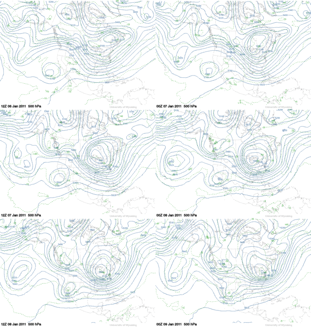
Three-wave pattern forecast for 23-JAN-11 implies a retrogression of plantery low long waves.


This flow-regime evolution would claw the 5H anomaly westward to a position over Greenland...return the NAO to negative territory where it belongs...and reprise the currently cold temperatures over the eastern CONUS.

Winter '10 / '11 - Snow Storm #3 - Preliminary Verification

Preliminary storm-total snowfalls for Tuesday and Wednesday from CDUS41...CXUS51...and PNS...as of 8 AM Thursday.

No snowfall data in the NWS climate bulletins for SBY. Verifying storm-total snowfall of 0.05" was estimated from SBY/s METARs

---
Twelve new daily records.

WED...12-JAN-11

BDL - 24" (10.3"; 1996)
ORH - 21.1" (10"; 1996)
CON - 18.3" (8.6"; 1901)
BDR - 15" (3"; 2004)
BOS - 14.6" (6.7"; 1976)
ISP - 14" (2.1"; 2004)
PWM - 13" (10.2"; 1905)
ALB - 12.8" (10.2"; 1891)
BGR - 10.4" (5.7"; 1954)
BTV - 9.3" (5.9"; 1976)
EWR - 6.4" (3.2"; 1994)
JFK - 4.2" (1.6"; 1970)

---
Please report errors and drop a link to the correct data in Comments.

Final results and storm summary Friday evening.

Winter '10 / '11 - Snow Storm #3 - Teleconnections


Arctic Oscillation continues its long run at well below zero as a minor warming event takes hold in the stratosphere...shown below by the hi-latitude...above normal geo-potential heights (GPH).


Also note the AO/s classic tri-pole configuration...in this case with strongly positive 5H anomalies over the Bering Sea and a secondary maxima over NE Canada.