Monday, January 23, 2023

Winter '22 / '23 - Snow Storm #1: Call for Forecasts!

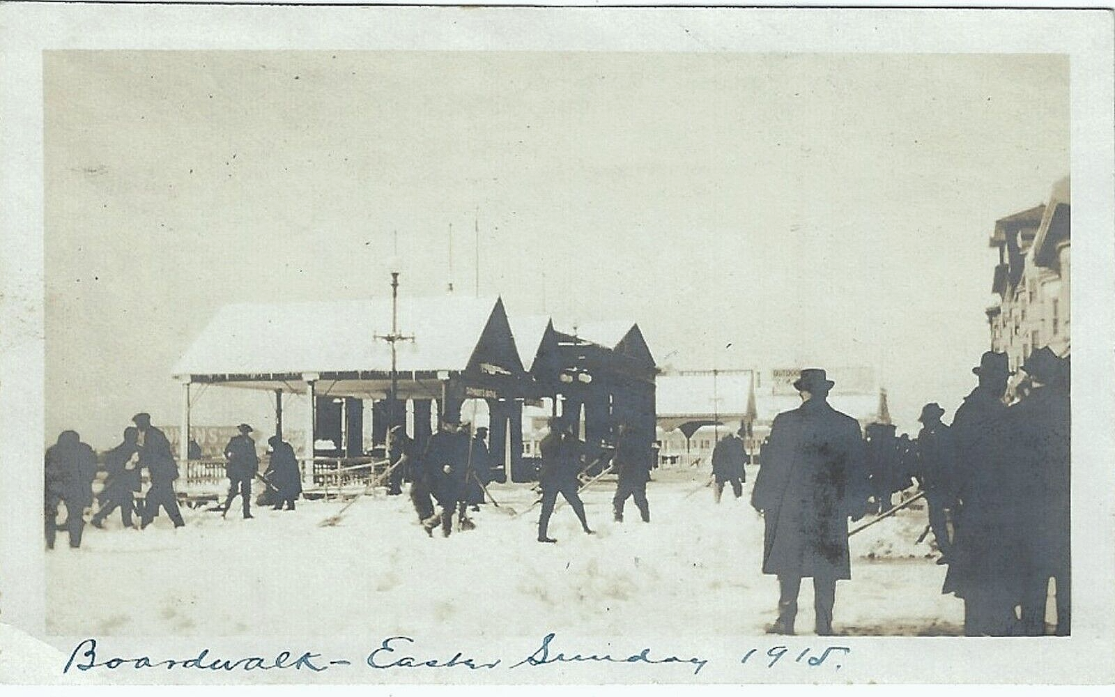
NYC - Queens
Woodside Station (1872)

Today/s 12z NWP suggests the WED/THU storm will produce more than nuisance snows (>= 4") over almost half the Contest/s forecast stations with the M-A stuck once again holding the bag.

Closed LOW analyzed over SW CONUS today progged to open up and lift east along the Gulf of Mexico coast on TUE then track NE through the TN/OH river valleys and spawn 2ndary cyclogenesis over interior M-A before heading up the NE's coastal plain.

System is primarily a rain-maker carrying a broad shield of frozen precipitation to its NW.

Winter '22 / '23 storm tracks to-date ... plagued by La Nina's persistent fatty ridge over the SE ... have treated the far northern reaches of the forecast area with modest snows but measly amounts elsewhere.

This winter/s 1st snowstorm won/t be the latest start to the snowfall forecasting season.  That honor remains with Winter '06 / '07 when the 1st contest-worthy storm made its debut on 12-FEB-07.  That was the 1st of two FEB storms ... followed by two storms in MAR ... and one more in APR; so all hope of salvaging this season is not yet lost.

---
- Enter your forecast at the NEWxSFC/s home page at http://www.newx-forecasts.com/

- Follow the top-of-page link from 'Enter Snow Storm Forecast'

---
Forecast element: each station/s storm-total snowfall

Deadline for entries: 10:00 PM EST ... TUE ... 24-JAN-23

Verification begins: 12:01 AM EST ... WED ... 25-JAN-23
Verification ends: 11:59 PM EST on the day when flakes stop accumulating.

By entering ... you also get the chance to see how well your forecast stacks up against NWS Eastern Region Weather Forecast Offices. Turns out they/ve been easy to beat!

Who Can Enter
Amateur and professional forecasters; broadcasters with or without trained Seals; any and all other weather-biz types and / or wanna-bees; wish-casters ... astrologers ... along with any other universally recognized class of dreamers; Pollyannas or Cassandras ... registered Nostradamuses ... non-violent megalomaniacs ... woolly-bear caterpillars or their Agents ... pest detectives ... ne.wx news group survivors; riders on the StormVista ... refugees from AmericanWx and/or USWeather free agents ... including self-imposed exiles from Eastern Wx ... and of course ... meteorologists.

---
The contest for Snow Storm #1 may be cancelled prior to the deadline if at least 6 to 8 stations are unlikely to observe 4" or more storm-total snowfall.

If you are issuing your first forecast this winter ... or you entered the 'season-total' forecast contest ... you/ll need to create an account -- user name / password / valid e-mail (if you want a copy of your forecast sent to your Inbox).

As always ... there/s no cost ... no fee ... no advertising ... or annoying requests for personal information to enter a forecast. It/s just a fun exercise for snow crows and winter wx enthusiasts to see who can make the best synoptic-scale snowfall forecast.

Saturday, January 07, 2023

Wolf Moon

RE-POST
Much the same for JAN-23.

---
January/s full moon was supposedly named the 'wolf' moon by native Americans living in the NE b/c there were hungry wolves roaming outside their camps.

Color me skeptical but that/s the story.

Even so ... the name does conjure up some dark imagery -- dead of winter ... cold ... lifeless ... short days ... cemeteries.

So ... if the wolves are hungry for food ... then it follows snow crows can be hungry for snow.

Wolf Moon seems like a good description this year even if its origins may not be genuine. The first full moon of '07 comes early this month. Not likely to see any halos portending a snowstorm in the E tonight; although ... it may be a different story later in the month.

If winter/s first Contest storm slips into early February ... it would be just in time for the Snow Moon.

Friday, January 06, 2023

Winter '22 / '23 - 'Season-total' Snowfall Forecast Contest: DEC Snowfall Totals

Valley Forge ... PA
16-DEC-70

DEC-22 snowfall summary by forecast station.
Rank ordered descending by percent of monthly period-of-record-normal (P-O-R-N).

Green ==> 4th quartile
White ==> less than 4h and greater than 1st quartile (inter-quartile range)
Red ==> 1st quartile

---
DEC Forecast Station Highlights
Stations with above normal monthly snowfall
BGM:  113% (13% above normal)

Biggest Losers
RDU ... SBY ... DCA ... EWR ... ACY ... BWI ... PHL ... IAD ... NYC ... ORF ... and RIC observed less than 10% of normal monthly snowfall.

---
Season-Total-to-Date
DEC P-O-R-N contributes 203.3" (22%) toward the season-total snowfall (D-J-F-M) of 936".
DEC-22 observed snowfall:  104" (51% of monthly P-O-R-N; 11% of season-total snowfall)

Images courtesy NOHRSC @ http://www.nohrsc.noaa.gov/nsa/

---
Teleconnections


AO / NAO / PNA data

Thursday, December 01, 2022

Winter '22 / '23 - 22nd Annual 'Season-total' Snowfall Forecast Contest: The Forecasts!

NYC - Central Park
Alfred Eisenstaedt (1959)


Welcome back all the veterans of winters' past.
No Rookies or Interns this year. Those who were in recent years have moved up to Journeyman this year.

Good Luck to All 🍀🍀🍀

Senior NEWxSFC forecaster Steve Okonski (Any.Wx) ... having made the best 'season-total' snowfall forecast for Winter '21 / '22 (as well as '04 / '05 and two 2nd place finishes along the way) ... is back this year to defend his 'Chief Season-total Forecaster' title.

Forecasters also compete against the Period-of-Record-Normal (P-O-R-N) and CONSENSUS.

Table below ranked by ascending season-total snowfall.

BLUE - 1st quartile
RED - 4th quartile

ORANGE - current Chief 'Season-total' Forecaster
GREEN - past Chief 'Season-total' Forecaster

P-O-R-N - Period-Of-Record-Normal
CONSENSUS - median of each station's forecasts

Forecasts issued with decimal values have been recorded as such for verification purposes;  however ... rounding was applied for display purposes only.

---
Forecasters:  21
Total station forecasts:  575 (includes P-O-R-N & CONSENSUS)

Station forecasts for snowfall ...
BELOW average - 282 (49%)
AVERAGE - 26 (5%)
ABOVE average - 267 (46%)

Count of stations with 'likely' confidence (>= 65% of all forecasts by station) with ...
- ABOVE average snowfall:  0
- BELOW average snowfall:  0


---
All forecasts at the Contest/s web site here (direct link to forecasts here).

Our individual snow storm forecast contests start when the flakes start flyin' from a contest-worthy storm.

'Call for Forecasts' announcements issued on the blog ... web site ... Facebook ... and via email.

Monday, October 31, 2022

Winter '22 / '23 - 22nd Annual 'Season-total' Snowfall Forecast Contest: Call for Forecasts!

NEWxSFC/s Director of Season-total Snowfall Forecasting

Here comes another winter with its oscillating Arctic and North Atlantic indexes ... sudden stratosphere warmings ... so-so ENSO ... and if we get lucky ... a seemingly endless parade of 'Miller A' LOWs raking the eastern seaboard.

NE.Wx/s 22nd Annual ‘Season-total' Snowfall Forecast Contest is the absolute best ... biggest ... and possibly ONLY chance to be recognized for your astute long-range forecasting acumen ;/

And it's s-o-o easy.
Cool prizes ... too!

All you have to do is issue the best 'season-total' snowfall forecast for 25 east coast observing stations between RDU and PHL and BOS and CAR!

---
Forecast element:
season-total snowfall @ each station

Forecast period:
01-DEC-22 through 31-MAR-23

Error statistic: total absolute error
[Σ abs(forecast - observed)]

Verification:
NWS climate reports (CLM or CF6)

Low. Score. Wins.

Deadline for entries: WED ... 30-NOV-22 @ 11:59 PM EST (01-DEC-22 @ 4:59 UTC)

Wednesday, October 26, 2022

Winter '22 / '23 - An over-the-horizon look at early autumn's a priori climate conditions

near Woodstock ... VT
Marion Post Wolcott (1940)
TL; DR
- The stars have yet to align for snow crows and other winter wx enthusiasts.
- Above-normal temperatures and below-normal snowfall for most NEWxSFC/s stations.
 
> Warranties neither expressed nor implied.
> User assumes all risk.
> Not intended for use by children.
 
---
Decoder Ring
AO: Arctic Oscillation
CONUS: Continental United States
D-J-F: December-January-February
ENSO: El Niño - Southern Oscillation
EPO: Eastern Pacific Oscillation
M-A: Mid-Atlantic
NE: New England
NAO: North Atlantic Oscillation
NHEMI: Northern Hemisphere
NWP: Numerical Weather Prediction
PDO: Pacific Decadal Oscillation
QBO: Quasi-Biennial Oscillation
PNA: Pacific-North American pattern
SSTa: Sea-Surface Temperature anomaly
SSW: Sudden Stratospheric Warming
 
---
To the extent ENSO ... QBO ... SSTa in the tropical Pacific and the NE coastal waters of CONUS ... sunspots ... PDO ... and the extent of Eurasian cover have any predictive value ... here laid upon the table is the current state of play heading into Winter '22 / '23 as divined from NEWxSFC/s Whirled Headquarters located east of the fall line in VA.

Thursday, October 20, 2022

Winter '22 / '23 - 22nd Annual 'Season-total' Snowfall Forecast Contest: Preview

ACY (2-day mixed precip:  1.38")

We/re gearing up for the launch of the 22nd Annual Season-total Snowfall Forecast Contest where forecasters predict the season-total snowfall for 25 stations from Raleigh ... NC to Binghamton ... NY to Burlington ... VT to Caribou ... ME.

☼ Everyone is welcome to submit a forecast
☼ Totally free to enter
☼ Prizes

► Window for submitting forecasts will open MON ... 01-NOV-22 @ 12:01 AM EDT at the Contest's web site.

Main announcement with a 'Call for Forecasts' coming late OCT.

Facebook ...
https://www.facebook.com/newxsfc


Tuesday, October 11, 2022

Winter '22 / '23 - Eurasia Snow Cover: SEP

Eurasia/s areal snow cover for SEP-22: ~2,520,000 SQ-KM

- Almost 60% above normal (1,620,000 SQ-KM)
- Ranks 6th during period-of-record (1967 - 2022).
- Highest since 1998 (25 years ago).

The extent of Eurasia/s OCT snow cover has been positively correlated with cold and snowy winter weather in the eastern CONUS so we/re off to a good start.

Data courtesy Rutgers University Global Snow Lab

Winter '22 / '23 - North and West of I-95: Why does snow in the Eastern US always seem fall to the West of I-95?

Are the snow-maker weather systems influenced by the fall line?
 
"This cold-to-warm transition zone is further increased by the presence of the Appalachian Mountains, which are found to the west of the I-95 corridor. This elevation increase starts at the fall line, the geological boundary between the low-level coastal plains and the foothills of the Piedmont.
 
"The fall line is the historical edge of this range mountains and is the point at which the elevation of the land starts increasing. In the short distance between Washington National Airport and Washington Dulles Airport, both near Washington DC, the elevation increases over 300 feet (90 meters)" 
 
More ...

Tuesday, October 04, 2022

Winter '18 / '19 - The Woolly Bear Caterpillar Guide to Winter Weather Forecasting

It/s that time of year again when long-range wx forecasters scour the bowels looking for ... well ... wadda you say we don/t go there.

More better ... consult the Woolly Bear Caterpillar Guide to Winter Weather Forecasting.

(Lightly edited re-post from USENET news group ne.weather 11-OCT-03)

---
In recent weeks ... a spate of news articles have appeared about the woolly bear caterpillar and its legendary ability to foretell the upcoming winter based on the color and width of its black and orange stripes.

With so much good information scattered across so many sources ... there appeared to be a need to compile the forecasting rules.

This handy forecasting guide can be printed and kept inside your coat pocket for easy reference.

---
The Woolly Bear Caterpillars Among Us
There is more than one kind of woolly bear caterpillar.  The one you use when forecasting is the banded woolly caterpillar ... which becomes the Isabella moth (Pyrrharctia Isabella) in the spring.  Pictures of the caterpillar and moth can be seen here: Caterpillar Moth

Science is Skeptical
It should come as no surprise ... entomologists pooh-pooh the very idea banded woolly bear caterpillars can predict future events.  These naysayers claim variations in band color and width are evidence of a worm/s age and the fall weather conditions when the worm reached maturity.

Worms exhibiting more black than orange are older and grew in wet conditions.  Worms exhibiting less black than orange are younger and grew in dry conditions.  And therein we find the caterpillar's predictive value.