|
| Geo. Washington...Valley Forge...PA (1928) |
Wes Junker...of the WaPo/s Capital Weather Gang blog...crafted an interesting
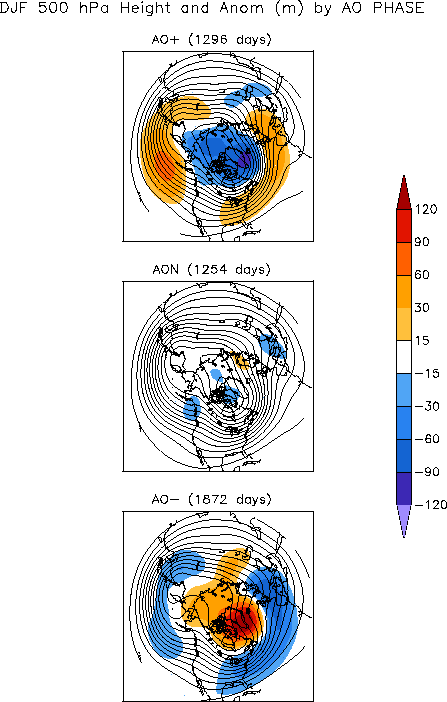
post last month about January/s temperature and precipitation prospects. He included a rough analysis on the likelihood of December/s persistently positive Arctic Oscillation (
AO) carrying over through January. The article concluded the chances were high for such an outcome.
One measure of whether two events -- such as the AO for two months -- are independent of each other or whether a strong association exists between them is the
chi-square test. The distribution of observed events (positive one month, negative the next or vice-versa) is compared to the distribution of the 'expected' events. Small differences between the 'observed' and 'expected' are interpreted as evidence of an association. Large differences mean they are independent.
No statistical testing was presented in Junker/s post; however...strong evidence for an association does exist...as shown in the table below at the intersection of DEC and JAN. The probability is 0...to three decimal places...the association between December/s and January/s AO state occurs by chance.
---
What about the other 'cool season' months? Can more predictive information be mined from these data? Is there a statistically significant association between the AO state lurking elsewhere?
Monthly AO
data between 1950 and 2010 from CPC were analyzed using the 'chi-square' statistic to determine if there were statistically significant associations between months.
There is a fairly strong association between SEP/s AO state and that of FEB (a 5.5% probability the association occurs by chance) and a good association between JAN and FEB (8% probability)
What does AO state for SEP-11 'predict' for FEB-12? The SEP-11 AO was 0.665...so FEB-12 'should' follow suit and be positive.
What does AO state for JAN-12 'predict' for FEB-12? The JAN-12 AO is unknown but since JAN follows DEC....JAN-12 AO 'should' also follow suit...which implies FEB-12 will be positive.
Winter's where the AO ran hot between DEC and FEB have occurred nine times since 1950 (1972/3...1974/5...1975/6...1988/9...1991/2...1992/3...1998/9...1999/00...2007/08).
Not lookin'good for the home-team...altho all may not be lost this winter.
The so called 'Storm of the Century' roared out of the GOM and tore up the east coast in MAR-93 after +AO in D-J-F (1.627; 3.495; 0.184) and MAR was 0.764! There was a 'notable' NESIS storm in MAR-99 and the unforgettably infamous JAN-00 storm.