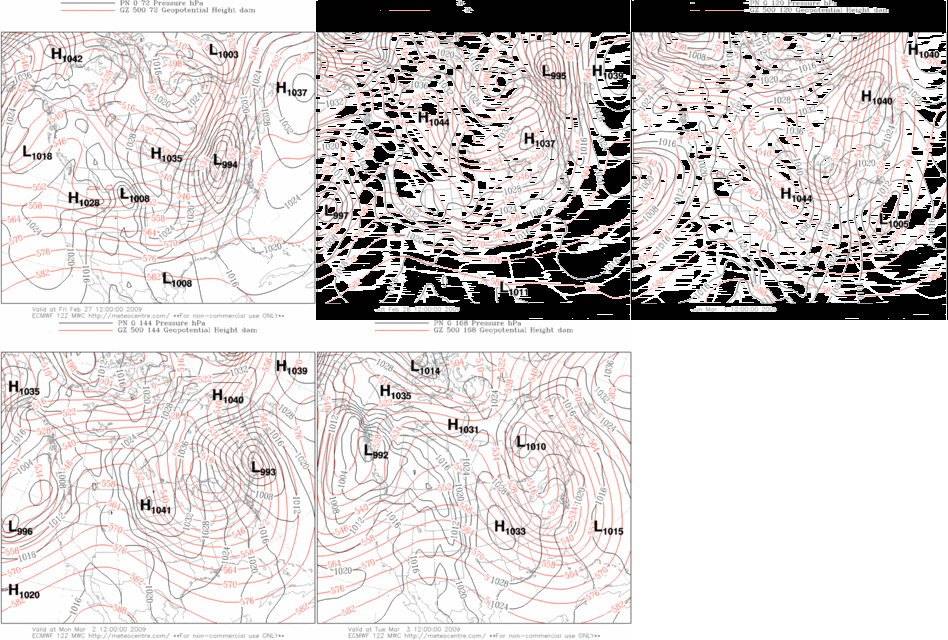
Coastal Teaser - FEB '09
 ECMWF up to its old tricks...again?
Last TUE/s prog has a similar look to today/s 12z offering. An arctic HIGH pushing a strong cold front into the northern Gulf states where a low-latitude LOW would form and leave a deep carpet of snow in its wake as it climbed the coast.
So...how/d that turn out?
Only a handful of stations located in the extreme northern portions of the forecast area saw any snow. BGR observed +16"...CAR 10"...BTV 8"...CON ~8"...and PWM 7.8". Not all that far away from the action center...ORH measured 1.8".
Hoping for a better outcome this time and the start of a late winter rally. Set-up is not yet perfect...which is a good sign at this distance from VT. Today/s model run forecast the LOW to hug the coast and flood the zone with warm maritime air...all but killing snow chances for all but those stations farthest inland.
As for GooFuS...well...it lived up to its namesake.


No comments:
Post a Comment