Late Winter Rally
 What could portend the start of a late winter rally and extra innings into March...the global models today were again dangling shiny objects before our eyes in their medium range forecasts.
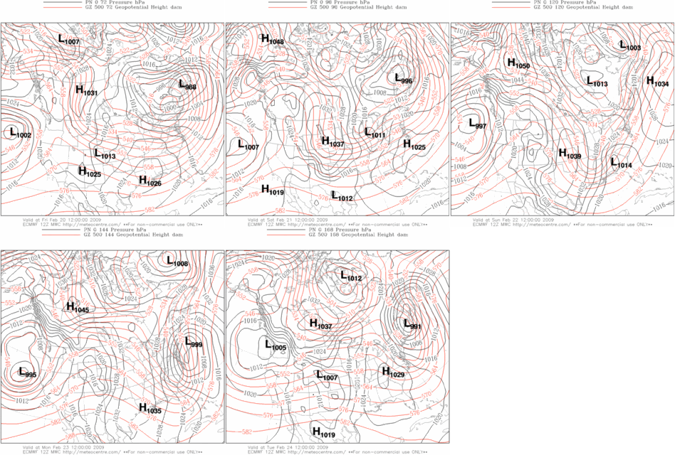
Today/s ECMWF depicts an amplifying long-wave pattern over the CONUS beginning in a few days...with low-latitude cyclogenesis occurring ahead of a positively-tilted trof...and a potent nor'easter attending arctic HIGH pressure in the chamber for the last week of meteorological winter.
GooFuS offering up a similar idea...albiet a different evolution...as well.
Last snowfall forecasting event was almost three weeks ago. High time for another.
Once the storm passes...NWP suggests another arctic outbreak in the offing. Note the deep-layer easterlies at high latitude (negative zonal wind (u) at 500 mb ==> flow into the board)...evidence of a very weak / non-existent polar vortex...and an easterly arctic jet at 10 m/s...both of which indicate favorable conditions for an arctic outbreak into the mid-latitudes.
Is this the manifestation to the sudden warming of the stratosphere observed at the end of January? If so...the timing would be right on schedule.
Also interesting is the ~10 m/s west wind over the equator in the 30 / 50 mb layer...evidence of QBO-west maintaining its strength.


No comments:
Post a Comment